Introduction
A strong El Niño is building across the Pacific Ocean, a pattern that usually brings milder and drier conditions to the northern United States. Despite that outlook, early weather signals point to a very different Thanksgiving scenario, with forecasters raising the possibility of snow and disruptive storms just as millions of travelers take to the roads and airports.
What Happened
Meteorologists are tracking an unusually early disruption of the polar vortex, the band of frigid low-pressure air that normally circles the North Pole. When this pattern weakens, Arctic air can surge south into the United States. Weather expert Ben Noll says the timing aligns with Thanksgiving week, creating conditions where cold air and active storm systems could overlap across the interior Northeast.
Forecast models remain too distant to lock in exact snow totals or precise locations, but early guidance highlights the Intermountain West as the region with the strongest odds of at least three inches of accumulation. Lower but still meaningful chances stretch across the northern tier into the Mid-Atlantic and New England.
Separate projections from Judah Cohen, a climatologist at the Massachusetts Institute of Technology who specializes in polar vortex behavior, suggest that by December 1 some parts of the Northeast and Mid-Atlantic could receive between six and twelve inches of snow. The Rockies, Sierra Nevada, and Pacific Northwest may see totals well above a foot, while the northern Plains and Upper Midwest are looking at lighter amounts. The National Oceanic and Atmospheric Administration has flagged a slight risk of heavy snow in the Cascades and northern Rockies through the end of November.
Why This Matters
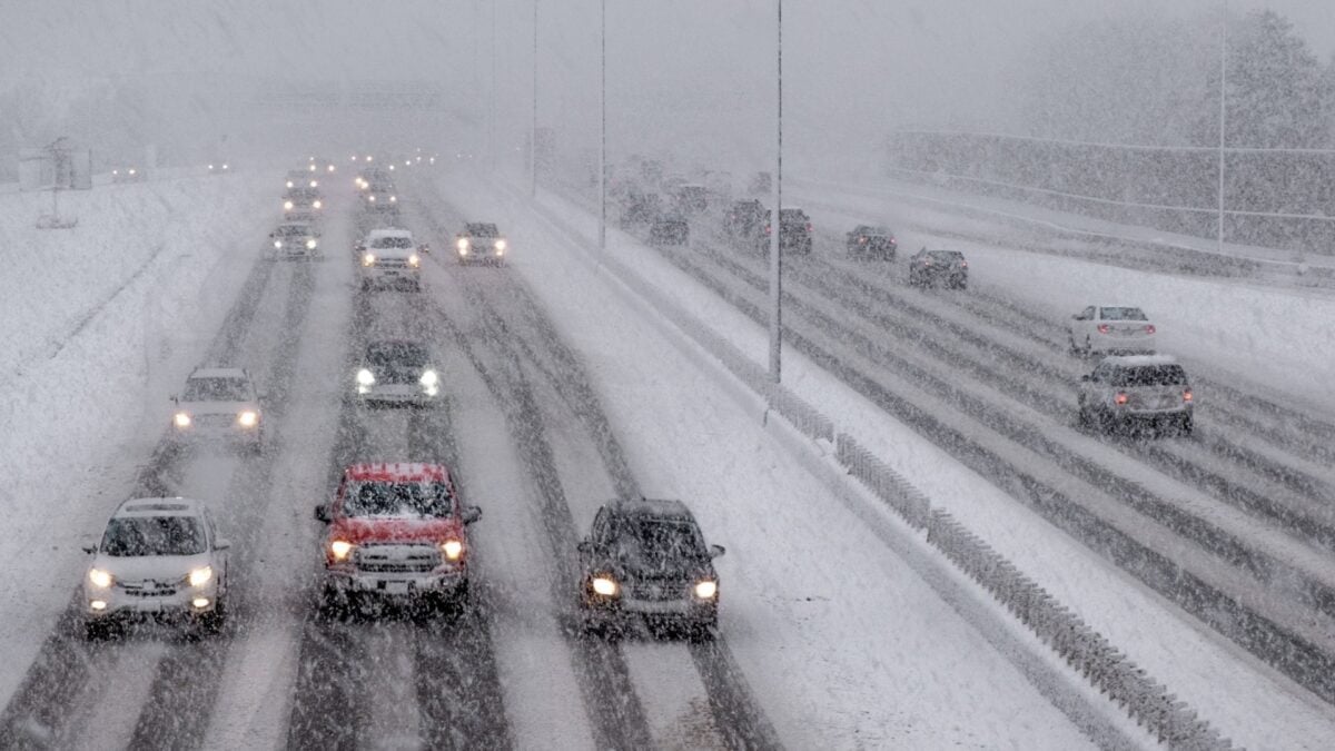
Thanksgiving ranks among the busiest travel periods in the United States, and wintry conditions can quickly turn routine trips into major delays. Even in areas where snow does not accumulate, forecasters expect a stormy pattern that could bring heavy rain, strong winds, and difficult driving from Texas to Florida and from California to Washington State.
Ben Noll, reporting for the Washington Post, notes that an early-week storm could drench the East Coast and might even take on tropical characteristics if it draws energy from the warm Gulf Stream. That is a notable reminder that the Atlantic hurricane season does not officially end until November 30. Cities such as San Antonio, Houston, New Orleans, Miami, San Francisco, Seattle, and Portland, Oregon, are among those most likely to face travel interruptions.
Key Takeaways
- El Niño is intensifying, but a disrupted polar vortex may override its typical warming influence over the northern United States.
- Snow is possible across the interior Northeast on Thanksgiving, though exact amounts remain uncertain this far out.
- The Intermountain West currently shows the highest probability of at least three inches of snow accumulation.
- Parts of the Northeast and Mid-Atlantic could see six to twelve inches of snow by the end of November, according to early model guidance.
- Mountainous areas in the West, including the Rockies and Sierra Nevada, may receive more than a foot of snow.
- Stormy weather and heavy rain could disrupt holiday travel across the South, East Coast, and Pacific Northwest even without widespread snow.
- Travelers should monitor forecasts closely as multiple storm systems develop in the days leading up to Thanksgiving.
Conclusion
A white Thanksgiving is far from guaranteed for most of the northern United States, but the ingredients for a messy holiday week are coming together. A weakened polar vortex, active storm tracks, and lingering tropical threats in the Atlantic mean travelers should prepare for flexibility. Whether you are driving through mountain passes or flying out of a major hub, checking the latest forecasts in the days ahead is the best way to avoid getting caught off guard by winter weather.
Discussion
Join the conversation
Thoughtful reactions, questions, and follow-up ideas help shape the next story.